Rain/Wintry Mix Ahead
Written on January 8, 2011 at 2:11 am, by Adam Cuker
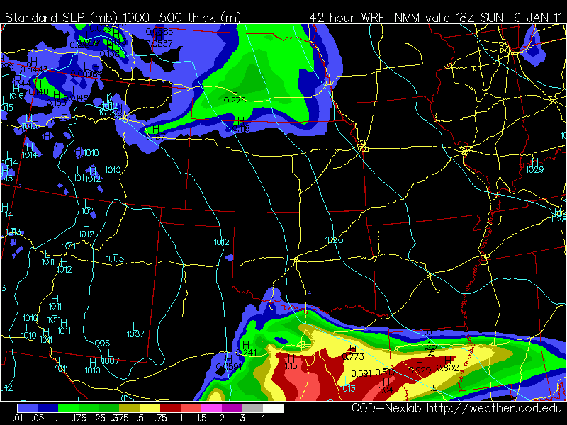
The image below shows the amount of accumulative precipitation between 6am and noon on Sunday.
Starting late Saturday through most of Sunday, there will be a high chance of rain across most of Central and East Texas. Right now the forecast models are in disagreement on Sunday afternoon if it will be cold enough for a winter mix across Central Texas. Right now as it looks, the Waco area could see a few sleet pellets mixed in with the rain Sunday afternoon. Models are showing accumulations of 1 to 3 inches of sleet/snow mix across north east Texas into the Arklatex area. A strong cold front will make it into Central Texas late Monday night into Tuesday morning. Highs for both Tuesday and Wednesday will only get into the upper 30’s lower 40’s and we will have a hard freeze Tuesday night and Wednesday night with lows in the mid 20’s.


No comments yet. You should be kind and add one!
The comments are closed.